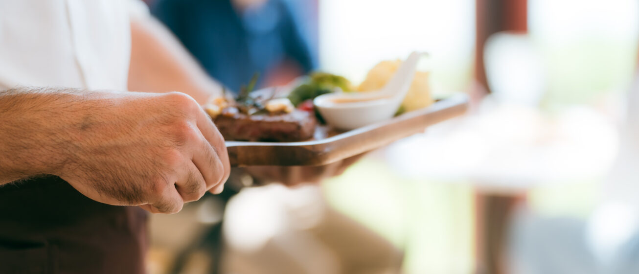
Cafe
We cater to all tastes with vegan, vegetarian, and gluten-free options, alongside high-quality coffee – perfect for our Hebridean weather.
The wait is over! Our centre is open for a preview season.

We cater to all tastes with vegan, vegetarian, and gluten-free options, alongside high-quality coffee – perfect for our Hebridean weather.
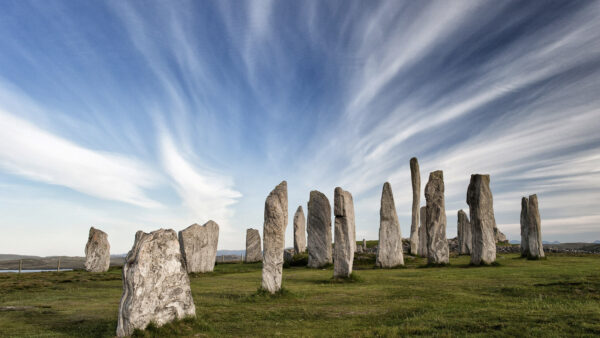
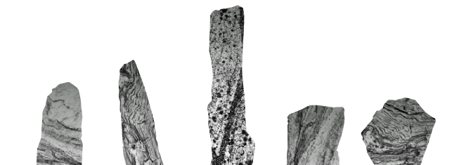
Shrouded in mystery, the Calanais Standing Stones have drawn visitors to this ancient and inspiring site in the Outer Hebrides for thousands of years. Overlooking the beautiful Loch Roag above the village of Calanais on the Isle of Lewis.